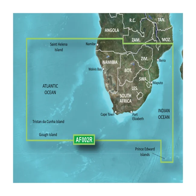
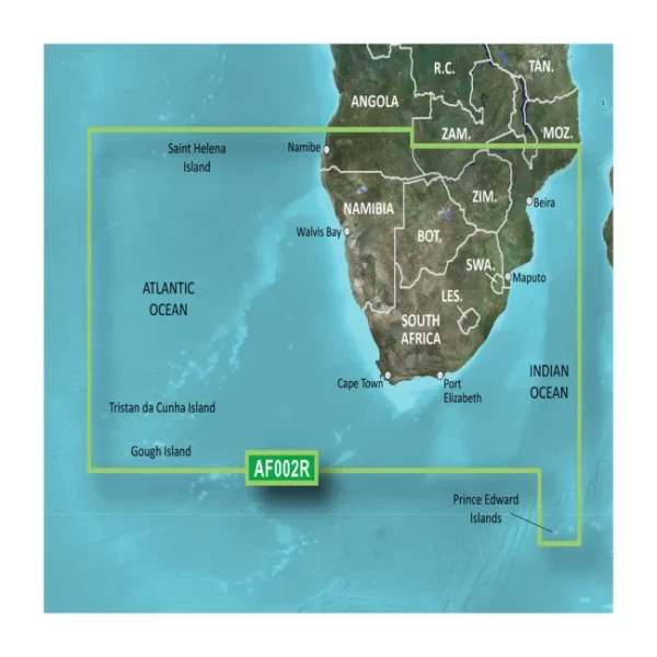

Description
| Feature | BlueChart g3 Vision | BlueChart g3 |
|---|---|---|
| Integrated Garmin and Navionics content | ✔️ | ✔️ |
| Auto Guidance¹ technology | ✔️ | ✔️ |
| Depth range shading | ✔️ | ✔️ |
| Up to 1′ contours | ✔️ | ✔️ |
| Shallow water shading | ✔️ | ✔️ |
| Raster cartography² | ✔️ | ✖️ |
| High-resolution relief shading | ✔️ | ✖️ |
| Unique 3-D views | ✔️ | ✖️ |
| High-resolution satellite imagery | ✔️ | ✖️ |
| Aerial photos | ✔️ | ✖️ |
| ¹Auto Guidance is for planning purposes only and does not replace safe navigation operations.
²Raster cartography is available for selected countries. It cannot be viewed on echoMAP CHIRP and ECHOMAP Plus combos but can be viewed on mobile devices via the ActiveCaptain app. |
||