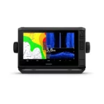
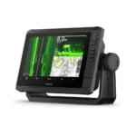
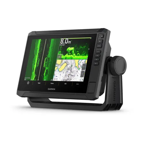
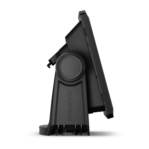

Description
📦 General
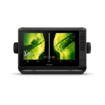
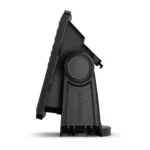
- Dimension: 10.4″ x 6.5″ x 3.2″ (26.4 x 16.6 x 8 cm)
- Weight: 2.9 lbs (1.3 kg)
- Water rating: IPX7
- Touchscreen: Yes
- Display Type: WSVGA, TN
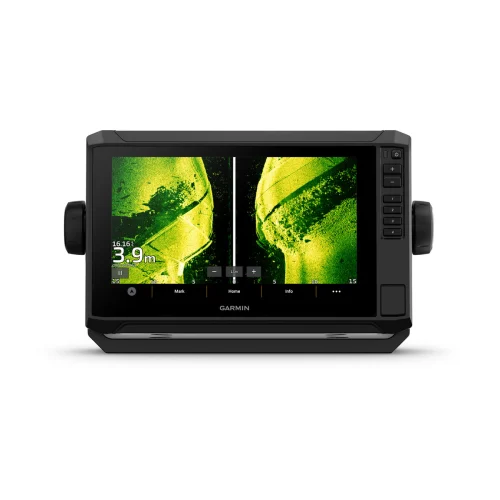
- Display Size: 7.8″ x 4.5″, 9″ (19.8 x 11.5 cm, 22.9 cm)
- Display Resolution: 1024 x 600 pixels
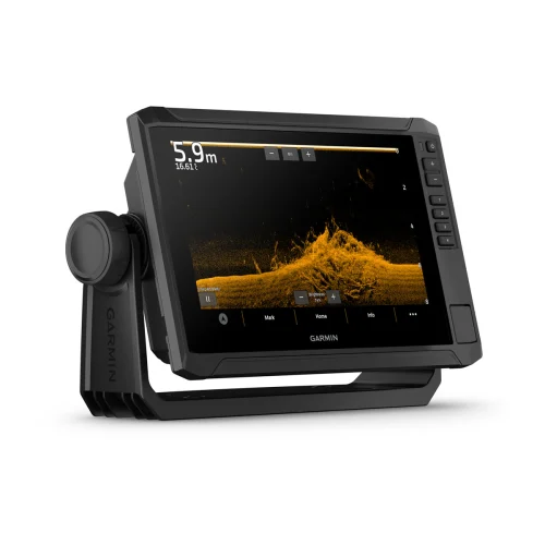
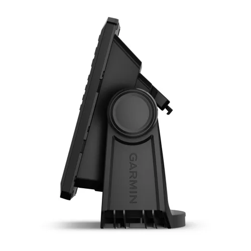
- Mounting Options: Bail or flush
- Input: Touchscreen with Keyed Assist
🧭 Maps & Memory
- Accepts Data Cards: 1 microSD™ card; 32 GB max
- Waypoints: 5,000
- Track Points: 50,000
- Tracks: 50 saved tracks
- Navigation Routes: 100
📡 Sensors
- GPS: Yes
- GLONASS: Yes
- Galileo: Yes
- BeiDou: Yes
- Built-in Receiver: Yes (10 Hz)
- NMEA 2000® Compatible: Yes
- Supports WAAS: Yes
- Multi-band, Multi-Constellation GPS: Yes
🗺️ Built-in Maps
- Auto Guidance+: Yes (via ActiveCaptain app)
- Garmin Navionics+ Inland & Coastal: Yes (see Additional)
🗺️ Optional Map Support
- BlueChart g3
- BlueChart g3 Vision
- LakeVü g3 & LakeVü g3 Ultra
- Garmin Navionics+™ & Navionics Vision+™
- TOPO 100K
- Standard Mapping
- Garmin Quickdraw Contours
⛵ Chartplotter Features
- AIS
- DSC
- Supports Fusion-Link™ compatible radios
- ActiveCaptain Mobile Planning Compatible
- Sailing Features
⚡ Electrical
- Power Input: 9 to 18 Vdc
- Typical Current Draw (12 Vdc): 1.72 A
- Max Current Draw (12 Vdc): 3.5 A
- Max Power Usage (10 Vdc): 20.7 W
🔊 Sonar Features
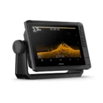
- Displays Sonar: Yes
- Power Output: 500 W
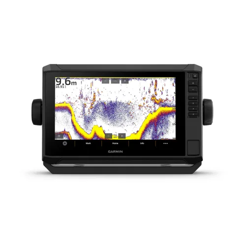
- Traditional Sonar: Built-in (single channel CHIRP, 50/77/83/200 kHz, L, M, H CHIRP)
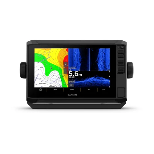
- ClearVü: Built-in (260/455/800/1000/1200 kHz)
- SideVü: Built-in (260/455/800/1000/1200 kHz)
- Panoptix™ Sonar: Yes
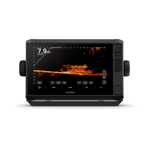
- LiveScope: Yes
🔌 Connections
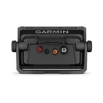
- NMEA 2000® Ports
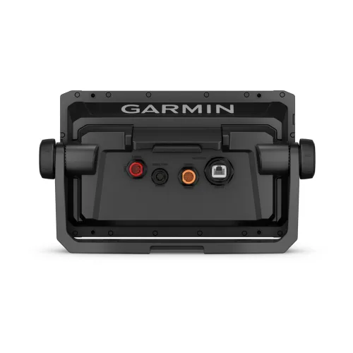
- Garmin Marine Network Ports: 1
- 12-pin Transducer Ports: 1
- Bluetooth® Calling
- ANT® Connectivity
- Garmin Wi-Fi Network: Yes (Local Connection)


